The map
Every dock and lift on your shoreline, pinned where it goes
LakeOps keeps two map points for every piece of shoreline equipment you service: the install point where it sits in the water, and the storage point where it stacks for the winter. Drop those pins once, and a crew member who’s never been to the place can find every piece of it — in May and again in October.
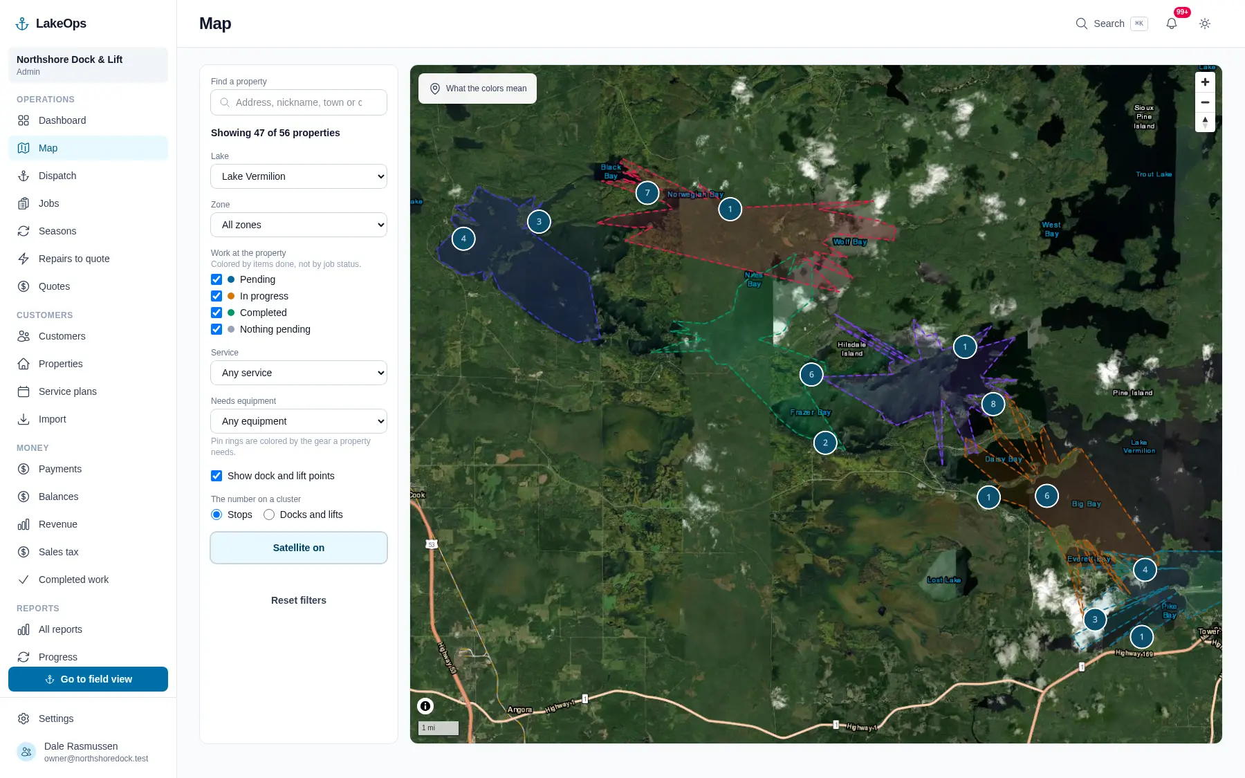
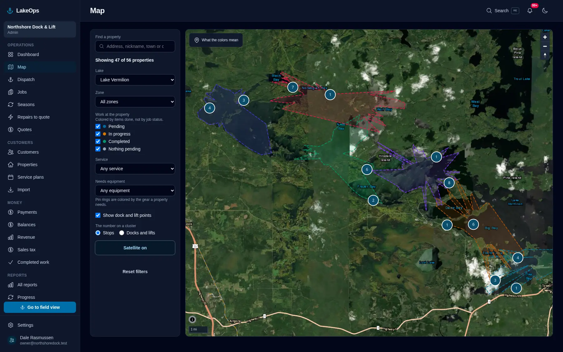
Two places for every piece: the water and the shoreline
The install point is where the thing goes in. The storage point is where it stacks in October. Both get dragged onto satellite imagery once, and a pin a person placed by hand never gets moved by the software afterward. In the fall that storage pin is the whole job — the difference between a crew that knows where the sections stack and a crew standing in a driveway on the phone to you.
- Drag pins on satellite or topographic imagery, right where the dock actually sits
- Property lines drawn in, so a crew knows where the lot ends
- Bays and arms outlined as zones — the way you already think about the lake
- Photos of both states on every piece: how it looks in the water, how it stacks on the shoreline
The pin tells you how much of the property is actually done
A place marked “done” when only the dock is in — and the lift’s still waiting on the crane — is the thing that costs you the return trip. Here the pin can’t lie about it. Gray means nobody’s been yet. Amber means somebody has, and it isn’t finished. Green means everything on that shoreline is resolved. A boat coming down the shore Thursday sees an amber pin and knows before they tie up.
- Gray, amber, green — nothing done, part done, all done
- The ring around the pin is the gear that shoreline needs
- Filter by lake, bay, service, what’s left, or required gear
- The crew’s chart carries the day’s stops and keeps drawing with no signal
Sell a lift, keep the history
A lift a customer sold still owns five seasons of your work — the photos, the notes, the minutes, the damage somebody flagged coming out in October. Retiring it takes it off next season’s work and off the crew’s list, and leaves every bit of that record where it is.
- Retire a piece instead of deleting it — the history stays
- Flag damage at removal and it’s waiting for you in March, when it’s repair work
- “Needs the crane barge” lives on the piece, not in somebody’s head
- “Needs four crew” too, for the runs that genuinely do
The wind, on the chart and at the desk
A small arrow and a number on the operator’s chart and beside the dispatch map: what the wind is doing on that lake right now, refreshed every fifteen minutes. On the chart the arrow turns with the boat in follow-me, so it points downwind over the water the way the flag on the dock does. Weather data by Open-Meteo, credited on the chip.
- Speed and direction where the boat is, and gusts when they matter
- Rotates with the boat’s heading, so the arrow agrees with the water
- Disappears rather than going stale when there is no reading
Questions about this
- Does it use Google Maps?
- No — on the boat or at the desk. Both maps are ours, drawn from the same tiles, so a pin dragged in the office is where the crew finds it and the chart keeps drawing where there’s no cell signal, which is most of a working day on most lakes. Google does one thing: it fills in the address when you type a new property.
- Can I see where a dock section is supposed to sit before I get there?
- Yes. Every piece carries an install point, a winter-storage point, and photos of both states. Heading out on an install the crew sees the install photos; heading out on a removal they see how it stacks on the shoreline.
- What if a property doesn’t have a pin yet?
- It shows up on the office screen as a property with no pin, because a crew can’t find it on the map. That count is one of the first things you see each morning.
Put your own shoreline on the screen
Create the account yourself, import your customer list, drop a few pins, and you’re looking at your own water this afternoon. No sales call, no setup fee, and nothing charged until your first season generates work.
No card, no sales call, nothing to book — you're in within a minute. Send us a question if you'd rather ask a person first.